
Tell us anything

An idea, a bug, something you love. We read every note.

⌘↵ to send. The page you're on comes along.

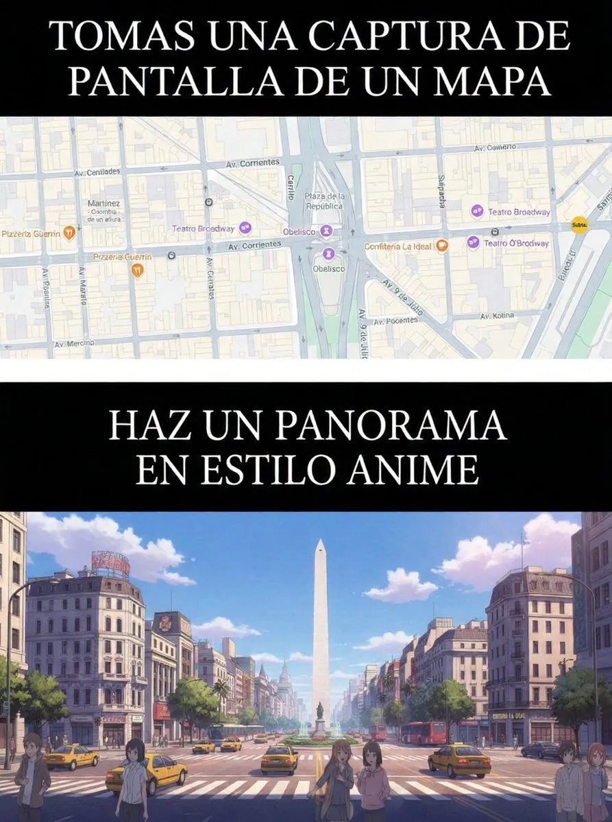
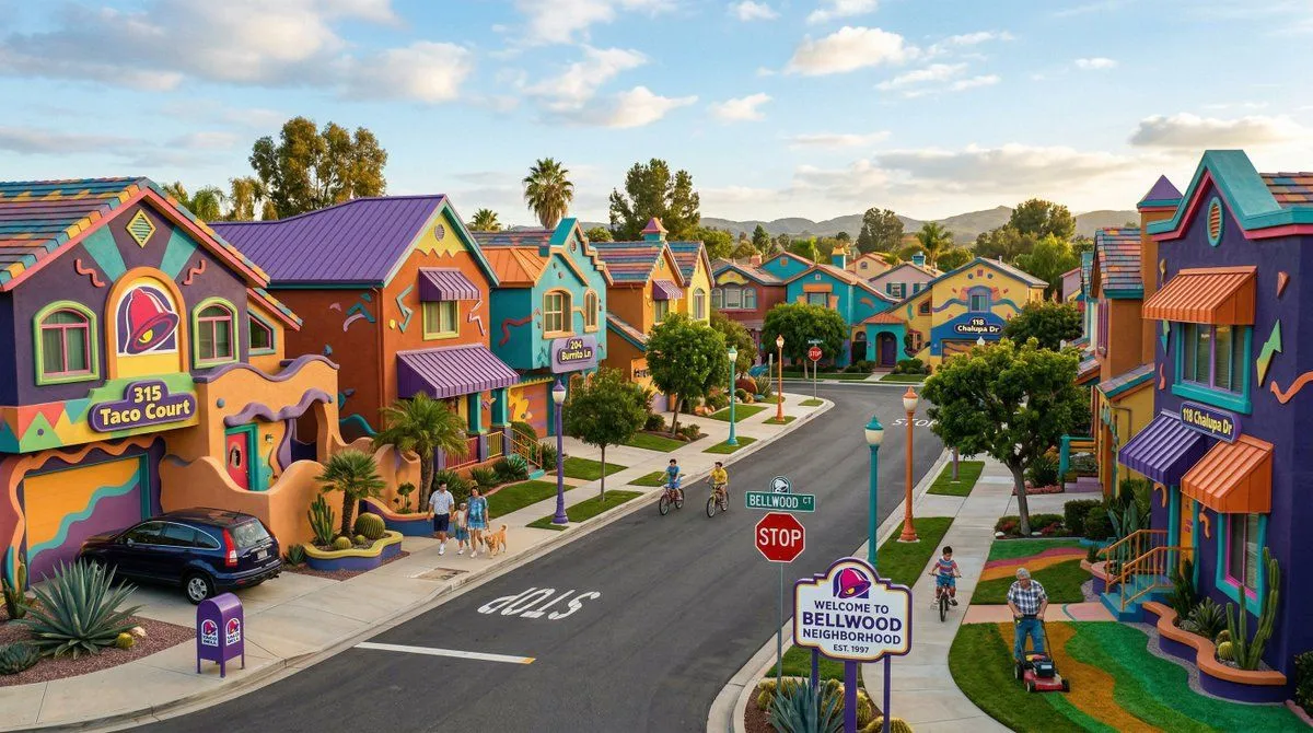
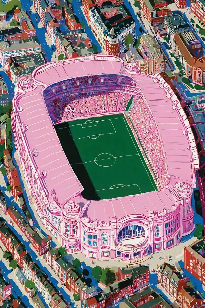
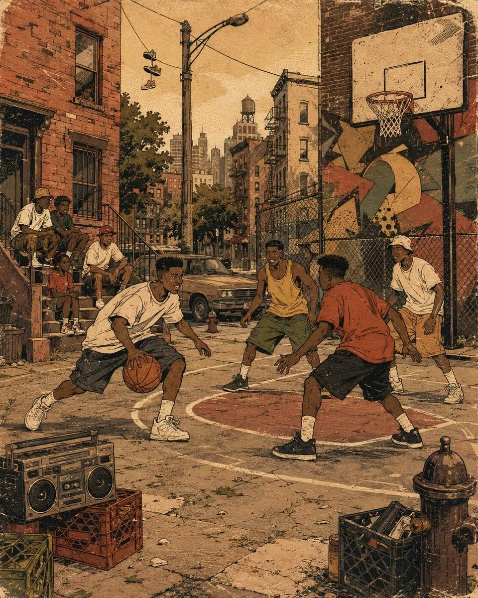
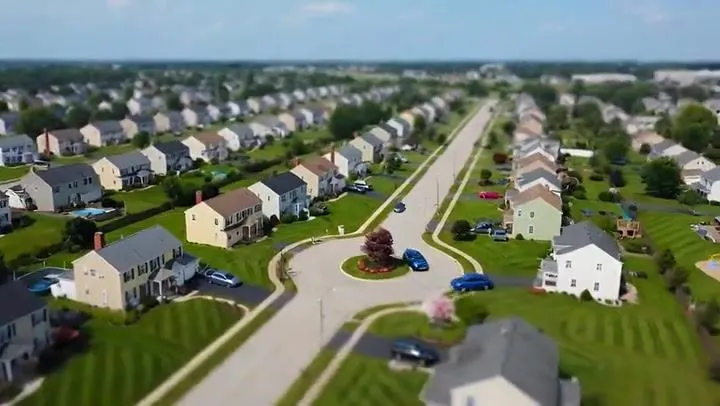
Cartoon drone-style Google Maps aerial illustration prompt

Made with Nano Banana Pro in Gemini by Library Social. Promptclay never generates images.

Did it work?

No reports yet. Tell others if it worked for you.

No comments yet. Be the first.

    Cartoon drone-style Google Maps aerial illustration prompt

    Nano Banana Pro1:1AI-generated

    Prompt

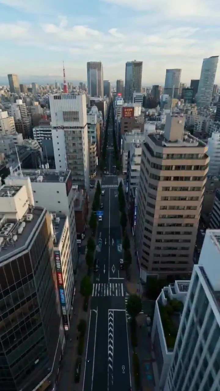
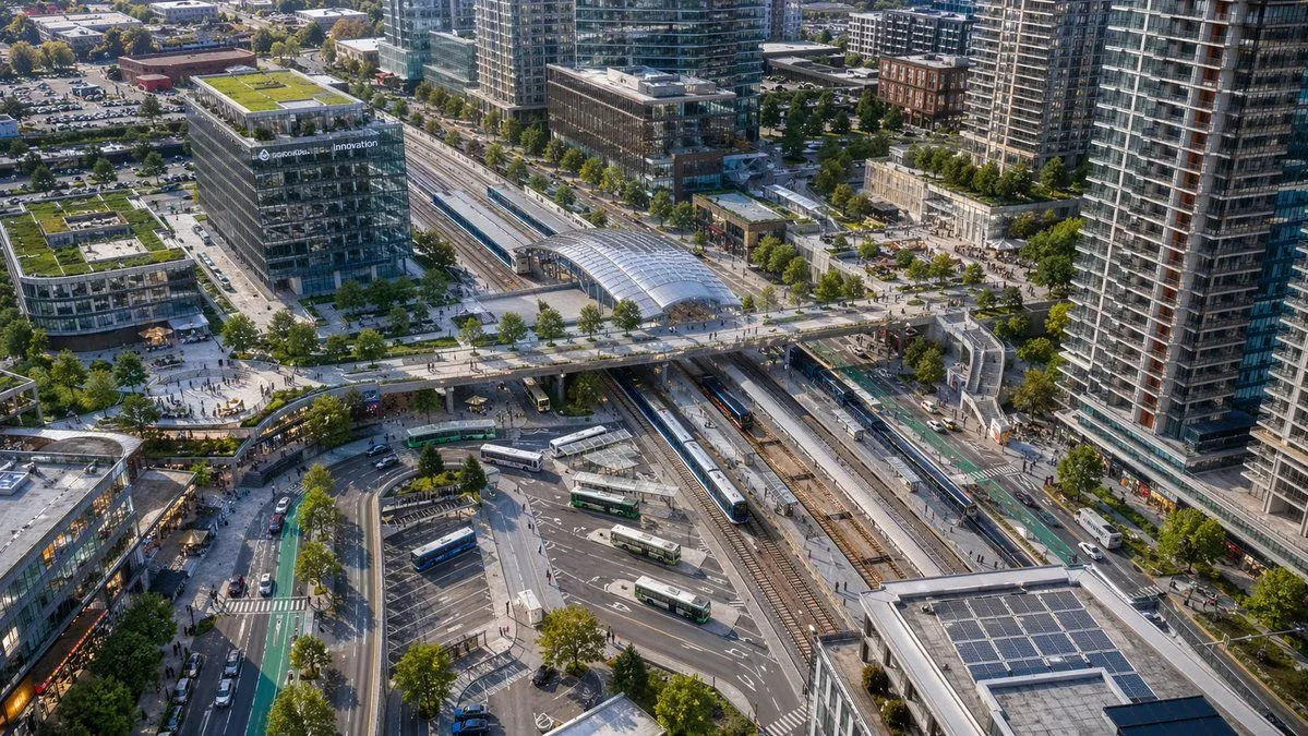
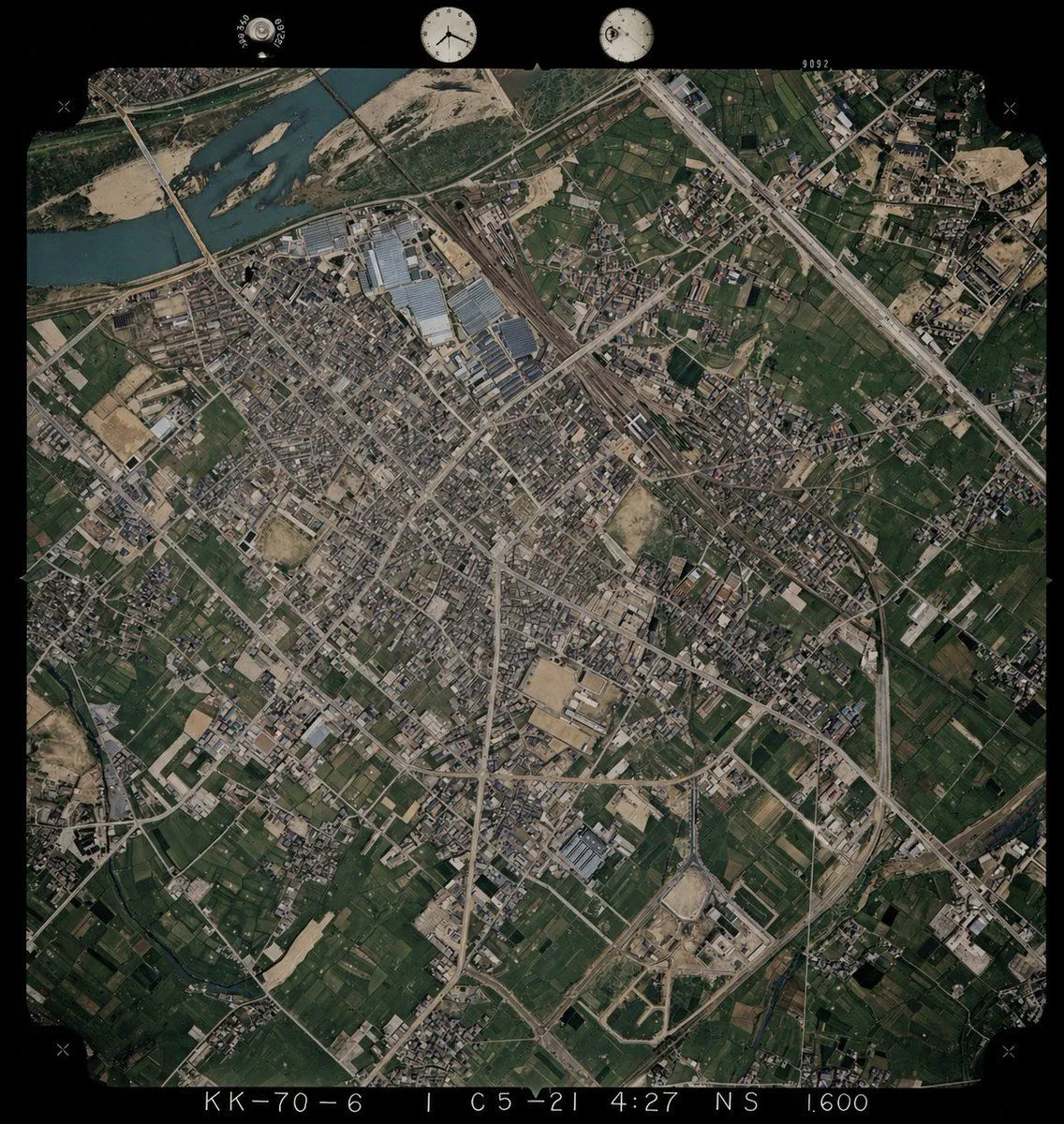
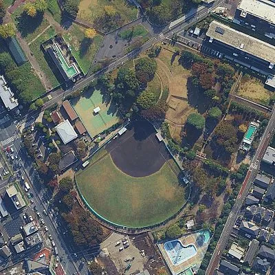
    Transform this aerial map view into an illustrated aerial photograph captured from above. Create a vibrant, animated aesthetic with brilliant colors and scatter miniature figures throughout the scene for a whimsical, magazine-quality illustrated result.

    Works in
    Gemini, ChatGPT
    Status
    Free to copy
    0
    DetailsVersions, settings and questions

    Written for

    What's in the prompt

    Subject
    Model
    Nano Banana Pro

    If your face changes

    keep my face exactly the same

    Questions

    Does this work in the Gemini app?
    Yes. Gemini runs Nano Banana, so paste the prompt and attach your photo if it uses one.
    It changed my face. What do I do?
    Add "keep my face exactly the same" to the end and run it again.
    Can I use the images I make?
    Check the terms of the app you use. Promptclay never generates images and claims nothing you make.

    Similar prompts

    See more
    • Fantasy Whimsical Downtown Aerial View
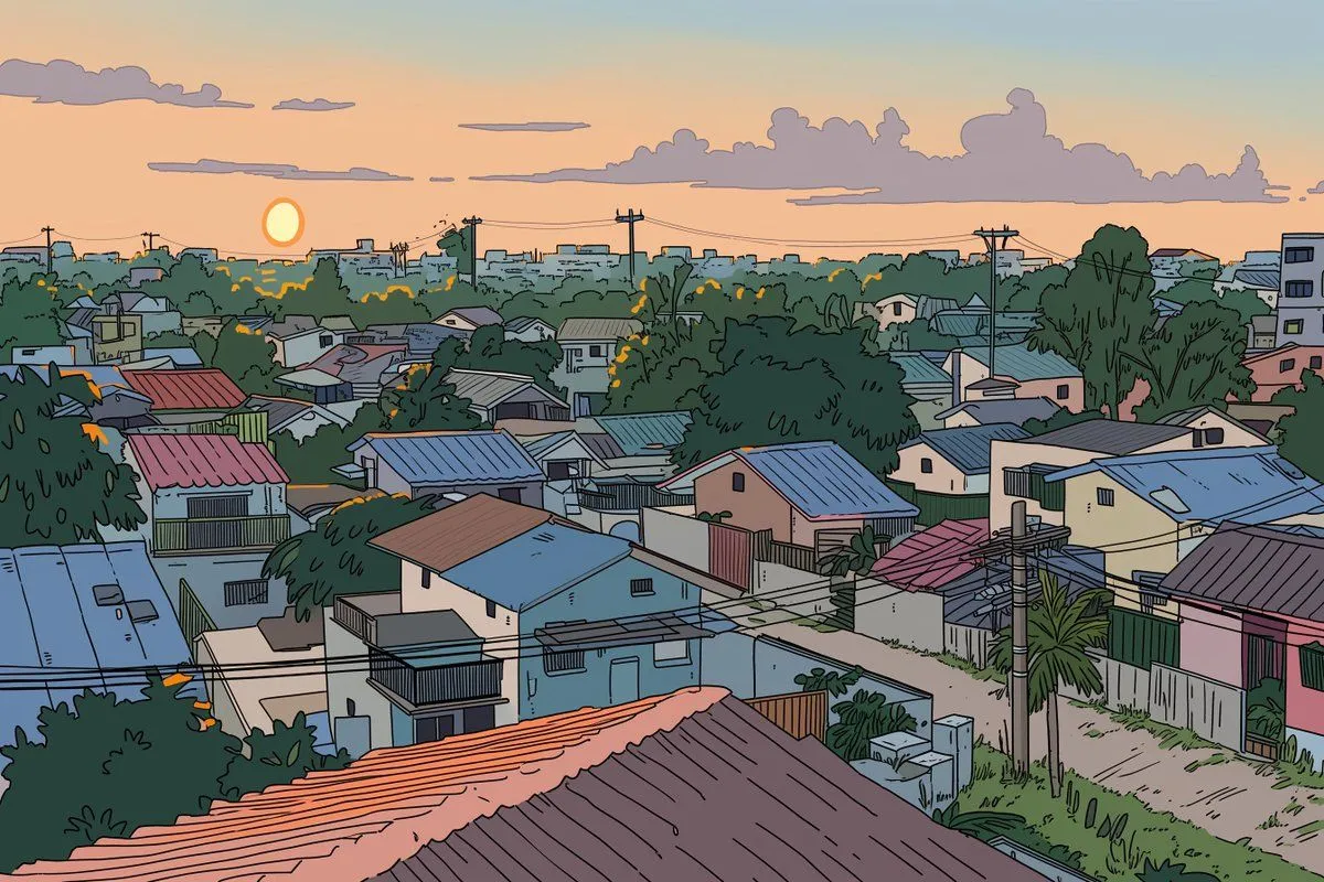
    • Ligne Claire Suburban Landscape
    • Map to Anime Panorama Conversion
    • Suburban Neighborhood Designed by Fast Food Chains
    • Dreamlike Football Surrealist Illustration
    • Retro 90s Urban Album Art
    • Suburban Neighborhood Drone POV VideoVideo, 0:10
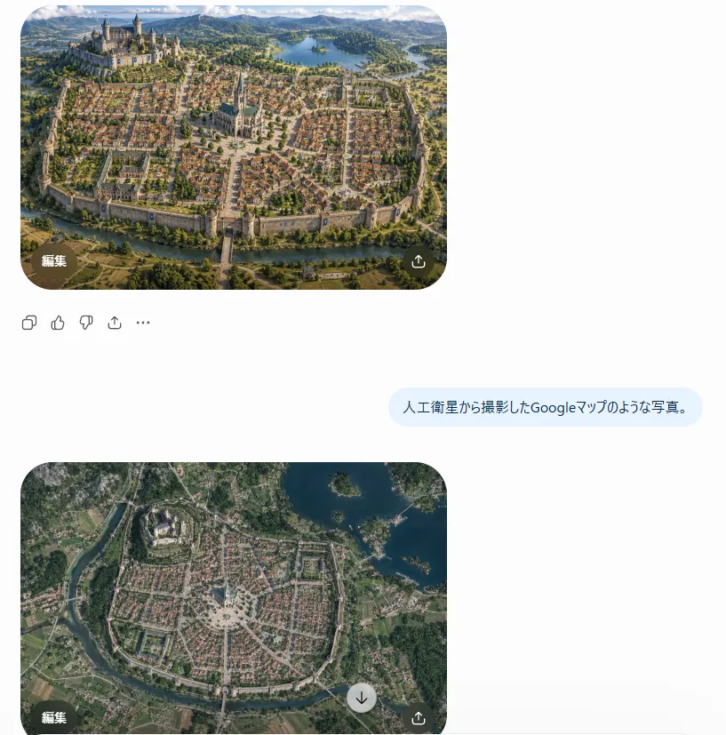
    • Satellite Map Medieval City
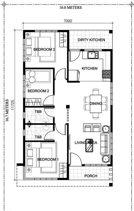
    • Photorealistic 3D Floor Plan Render with Furniture
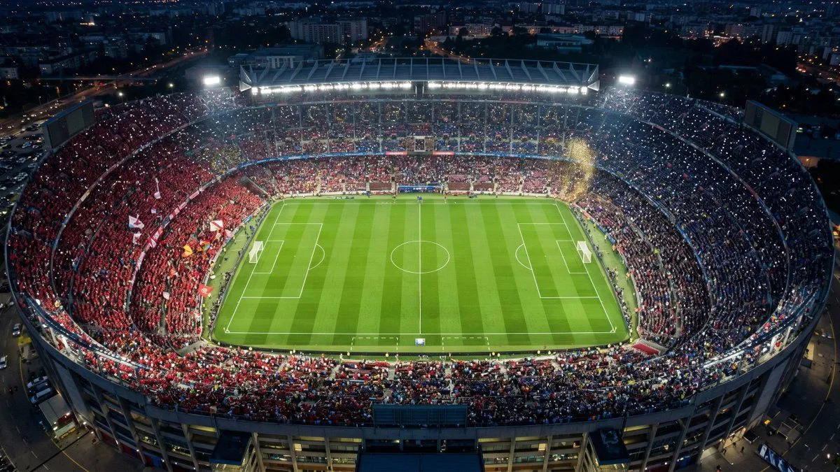
    • Aerial Championship Night Stadium
    • Cinematic Drone Dive into a Person's EyeVideo, 0:10
    • Aerial View of Modern Transit Hub
    • Colorize Historical Aerial Photo
    • Image enhancement and upscaling prompt
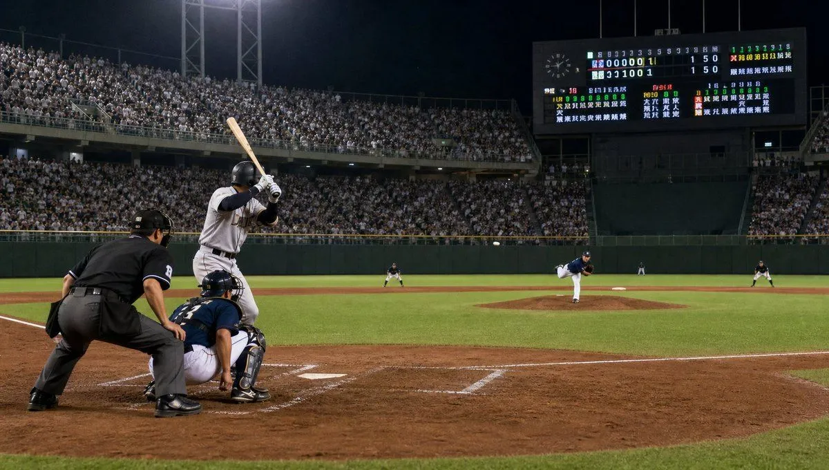
    • Night Baseball Stadium Action
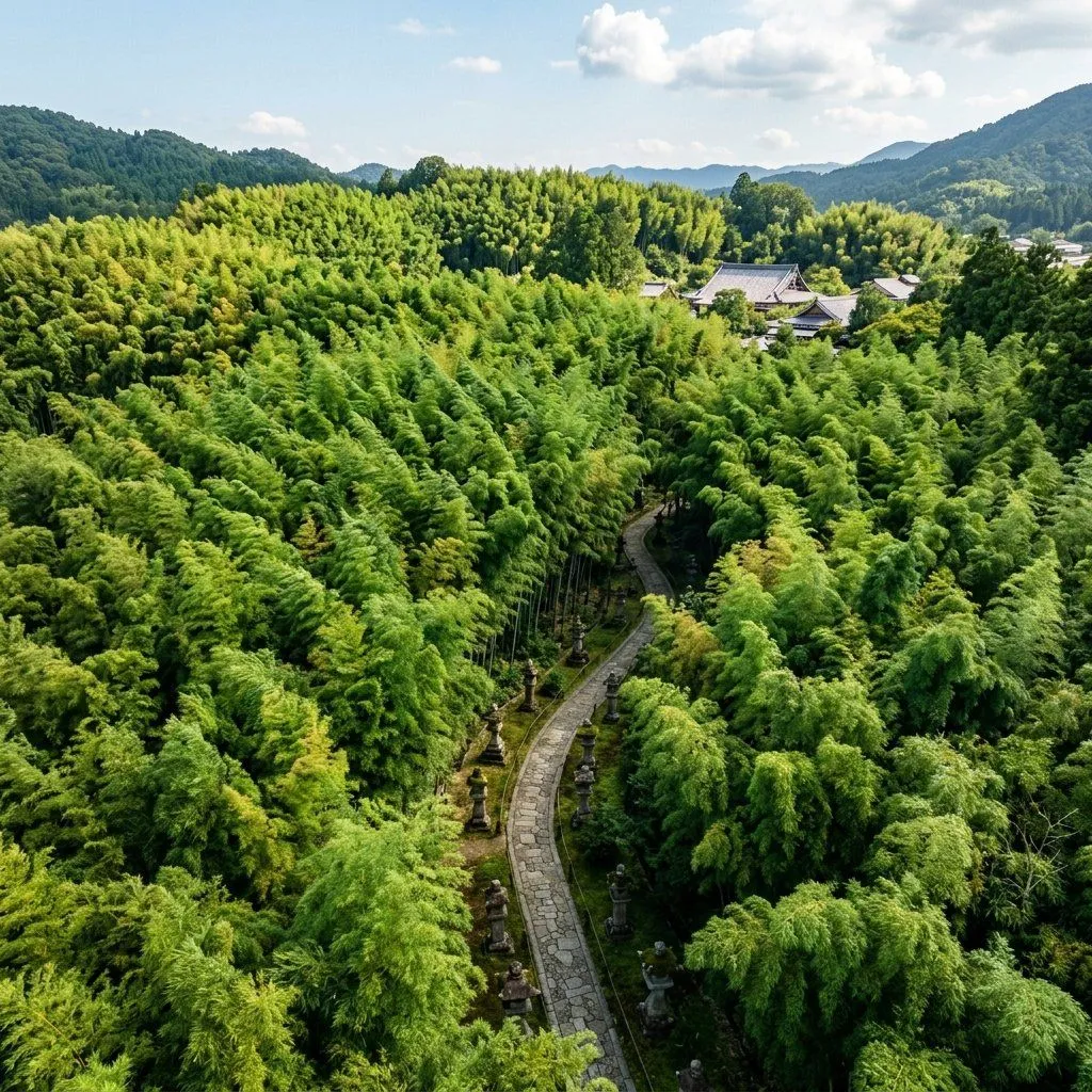
    • Realistic Aerial Bamboo Grove Landscape
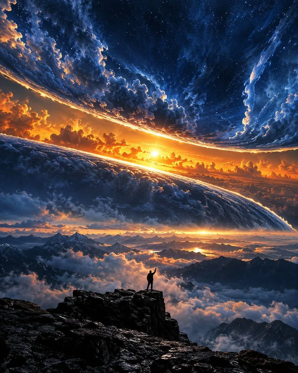
    • Silhouette on Mountain Peak at Cosmic Sunset
    • University Campus Aerial View
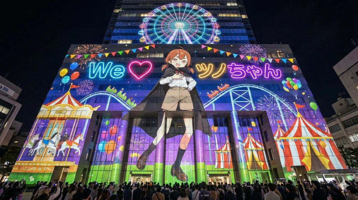
    • Projection Mapping Prompt for Nano Banana Pro (Amusement Park Theme)
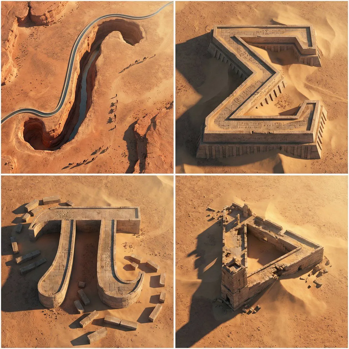
    • Monumental Mathematical Symbols as Terrain Typography
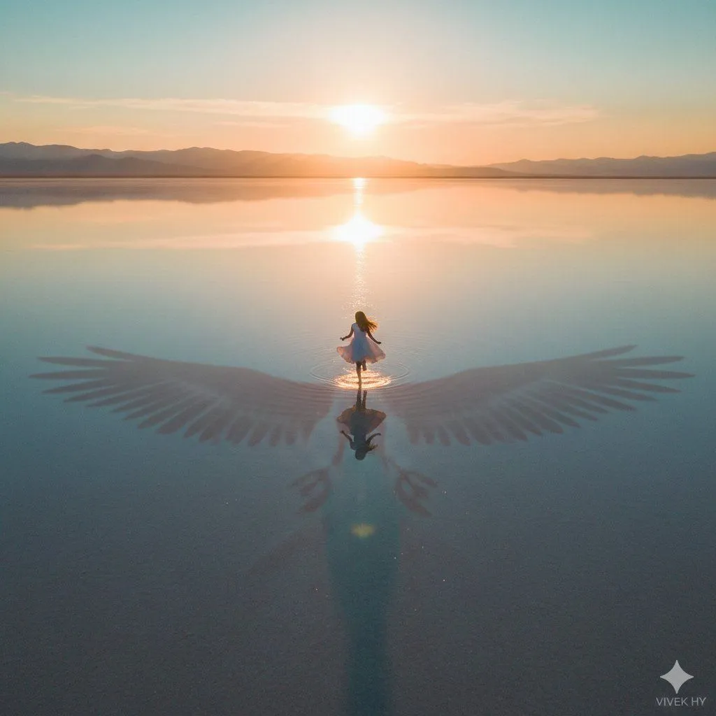
    • Dreamy Sunrise Scene with Symbolic Shadow
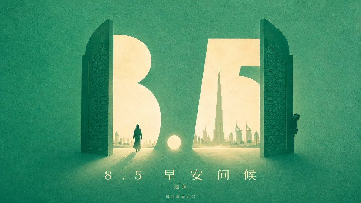
    • Urban Silhouette Aesthetic Greeting
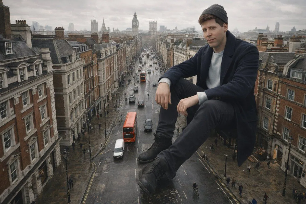
    • Colossal Man Seated in London Street Prompt
    • Hyperrealistic Miniature Planet Cityscape

    Show more

    Run it on your phone

    1. Prompt copiedRead it

      Transform this aerial map view into an illustrated aerial photograph captured from above. Create a vibrant, animated aesthetic with brilliant colors and scatter miniature figures throughout the scene for a whimsical, magazine-quality illustrated result.

    2. Open your app

    3. Paste and run

      Press and hold the message box, then tap Paste. Add your photo first if the prompt uses one. You may need to sign in.

    Cartoon drone-style Google Maps aerial illustration prompt