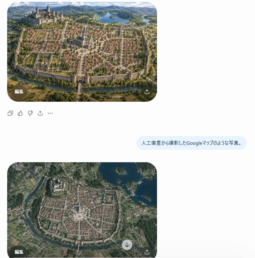
Satellite Map Medieval City
Using REFERENCE_0 as the realistic landscape/detail base and REFERENCE_1 as the city-layout and sketch/worldbuilding reference, transform the scene into style_request Render it as a true vertical top-down satellite image, like a Google Maps capture, not an oblique fantasy illustration. Preserve the invented medieval city arrangement while making it look geographically real. Keep exactly 5 major layout elements recognizable: 1) the walled oval/rounded city footprint, 2) the large castle district on the upper-left hill, 3) the central cathedral and radial plaza, 4) the lake in the upper-right/background area, and 5) the river or moat curving around the lower edge with a bridge/gate approach. Style: photorealistic satellite imagery with natural terrain textures, muted earth colors, tiny roof grids, streets, vegetation, water, fields, and realistic atmospheric clarity. Remove the close foreground tower viewpoint from REFERENCE_0 and eliminate painterly/fantasy perspective. The result should feel like an authentic overhead map photo of city_type, with believable scale and urban density.