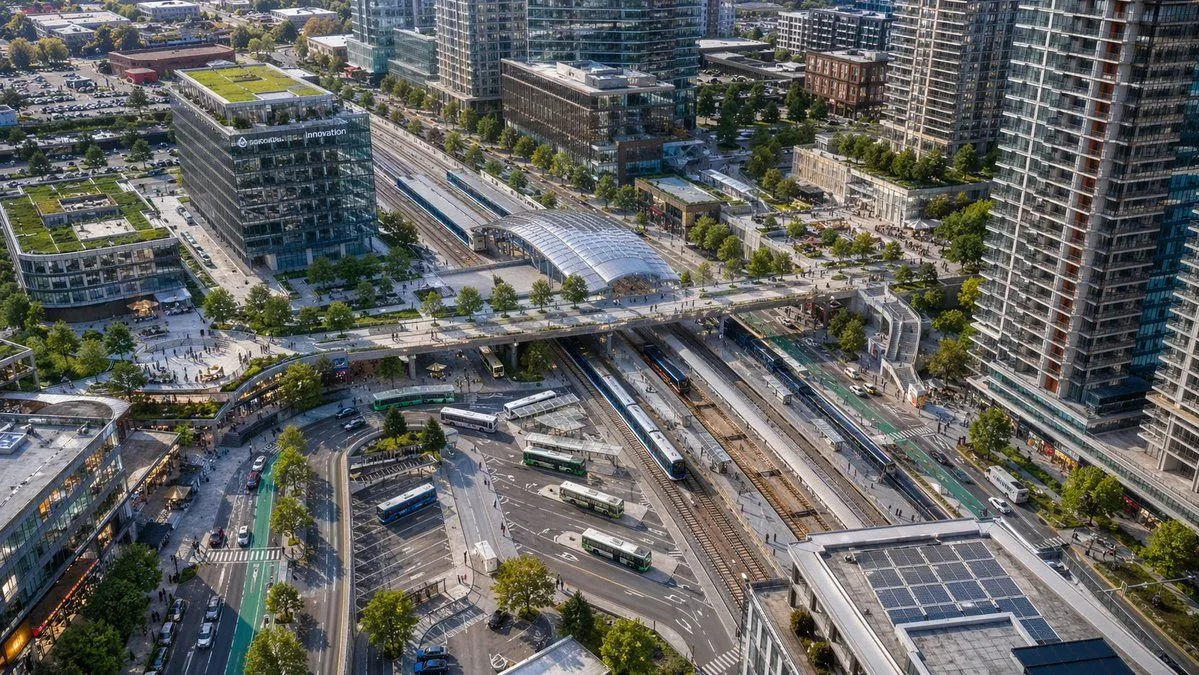
Aerial View of Modern Transit Hub
A high-angle aerial drone photograph of a modern urban transit hub in a dense mixed-use city district, captured in crisp late-afternoon sunlight with realistic architectural detail. The scene centers on a large multi-track rail station running diagonally through the frame, with 6 visible railway tracks, 2 long passenger trains at platforms, and a glass-covered station canopy near the upper middle. A broad pedestrian bridge crosses above the tracks from left to right, connecting plazas on both sides. In the lower middle is a bus interchange with 7 visible buses parked or moving through curved lanes and marked bays. Surround the station with tall contemporary residential towers, mid-rise office buildings, retail frontages, tree-lined streets, bike lanes, sidewalks, parked cars, and small groups of pedestrians. Include one prominent glass office building on the left with rooftop greenery and a visible corporate sign reading building_sign_text. Add multiple green roofs and rooftop solar panels, especially on the lower-right building. Composition should feel like a clean, realistic North American transit-oriented development, viewed from an oblique bird's-eye perspective, ultra-detailed, natural colors, sharp focus, professional city-planning photography, no stylization.