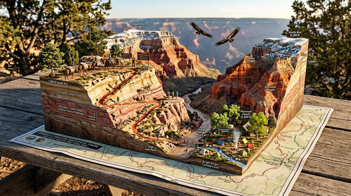
National Park Trail Map Miniature Ecosystem Diorama
A National Park trail map unfolded on a picnic table, with the wilderness rising into explorable miniature ecosystem. TRAILHEAD emerges with VISITOR_ELEMENT, the marked paths wind upward through TERRAIN_1 featuring WILDLIFE_1, past VIEWPOINT_1 with SCENIC_ELEMENT, toward SUMMIT/DESTINATION with PAYOFF_VIEW. WATER_FEATURE flows actual water down the topography. FOREST_TYPE trees stand at proper scale, BIRD_SPECIES perch in branches. Trail markers and signs are legible. Elevation changes create dramatic miniature mountains. WEATHER_ELEMENT affects one region while another stays clear. Camping symbols mark actual tiny tent sites with smoke rising. Day hikers frozen mid-stride, wildlife pausing mid-graze. Golden hour backcountry light, wilderness diorama perfection, 8K, the park as you imagined it from the map.