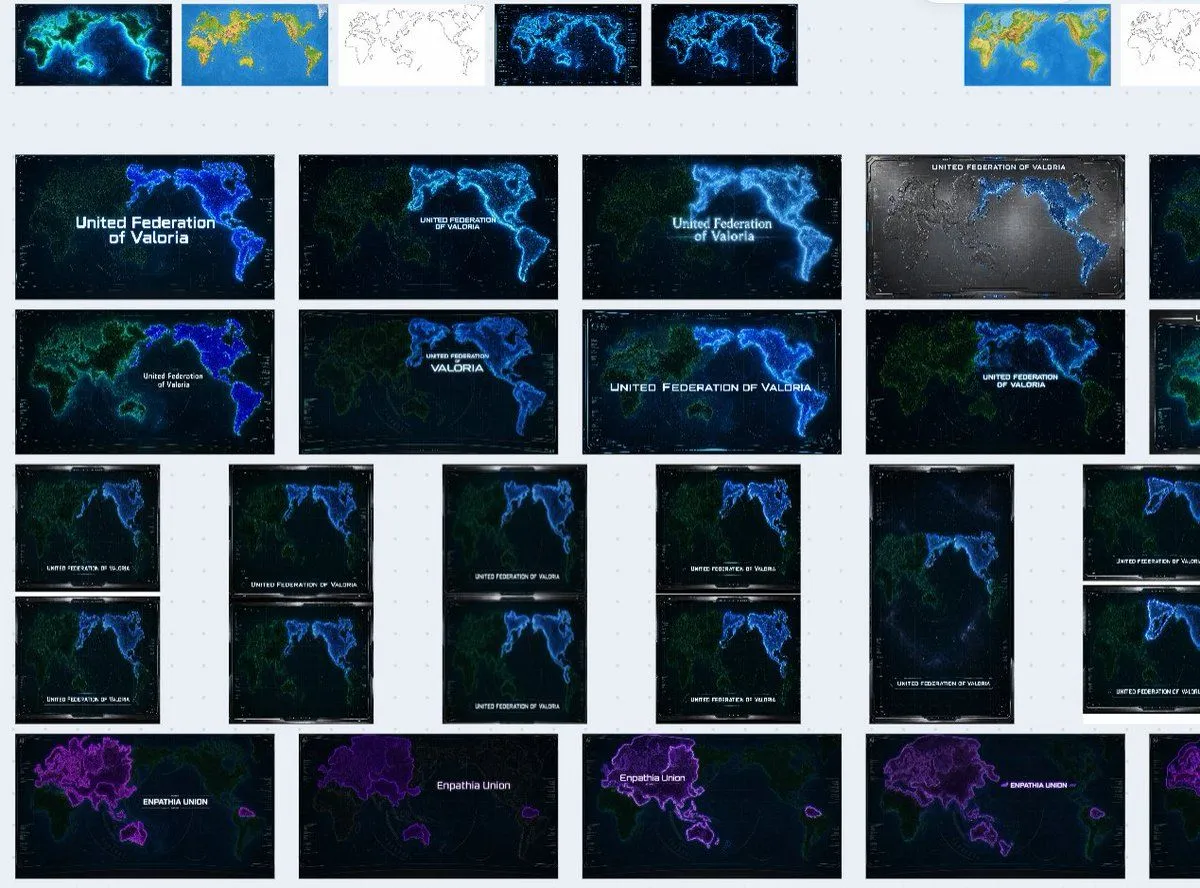
Fictional World Map Attempts Collage
Goal: Create a screenshot-like collage showing a pile of unusable AI-generated fictional world map attempts on a pale gray workspace, as if viewed on an image-generation history board. The subject is not one map, but a messy contact sheet of many map thumbnails for a future fictional nation. Canvas: Wide 16:10 landscape canvas, light gray background with a faint dotted grid pattern. Leave generous gutters between thumbnails. The entire composition should feel like a zoomed-out browser or design-board view, with some thumbnails cut off by the right edge. Layout: Arrange exactly 35 visible map thumbnails in an irregular grid. Count them as: 8 small thumbnails across the top row, 10 large landscape thumbnails in the middle two rows, 12 smaller portrait/landscape thumbnails in the lower middle arranged in paired columns, and 5 large purple-themed thumbnails along the bottom row. Include several partially cropped thumbnails on the far right edge to imply the board continues off-screen. Thumbnail content: Each thumbnail is a different failed variation of a futuristic world map for fictional_nation_name. Most maps show altered Earth-like continents but not an accurate real-world map. Use dark navy or black ocean backgrounds, neon blue coastlines, cyan glowing borders, faint green landmasses, satellite-map textures, grid overlays, small HUD-like ticks, and occasional white title text. Some thumbnails should look like color tests: one bright blue-and-yellow terrain map, one simple black-outline map on white, and multiple glowing cyberpunk versions. The bottom row should use a different purple faction label, bottom_faction_name, with purple-highlighted landmasses around Eurasia/Australia-like shapes. Visible labels: Repeat the title text on many thumbnails, usually centered or near the lower third, reading main_map_label. Vary the typography and size slightly so some labels are tiny, misaligned, or awkwardly placed. Bottom-row thumbnails should instead read purple_map_label. A few labels may be partially illegible due to scale, cropping, or glow. Visual style: Make it look like a collection of generated image results, not a polished infographic. Use inconsistent map compositions, inconsistent coastline shapes, different zoom levels, different title placements, and slightly mismatched aspect ratios. The dominant palette is black, deep navy, electric cyan, blue, green, and purple, with occasional white thumbnails and one or two bright terrain-map thumbnails. Constraints: Do not create a single clean world map. Do not make the continents match the real Earth exactly. Do not add people, UI controls, large captions, watermarks, or a polished final design. Preserve the feeling of many discarded attempts scattered on a pale dotted canvas.